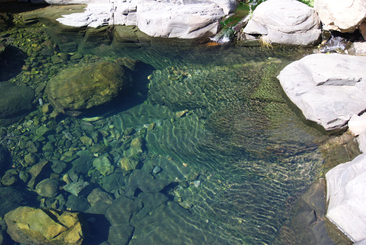
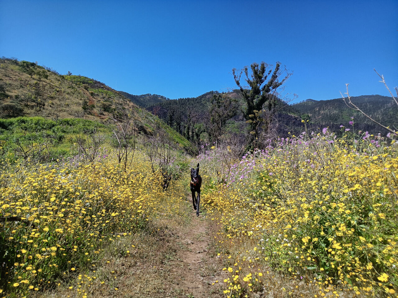
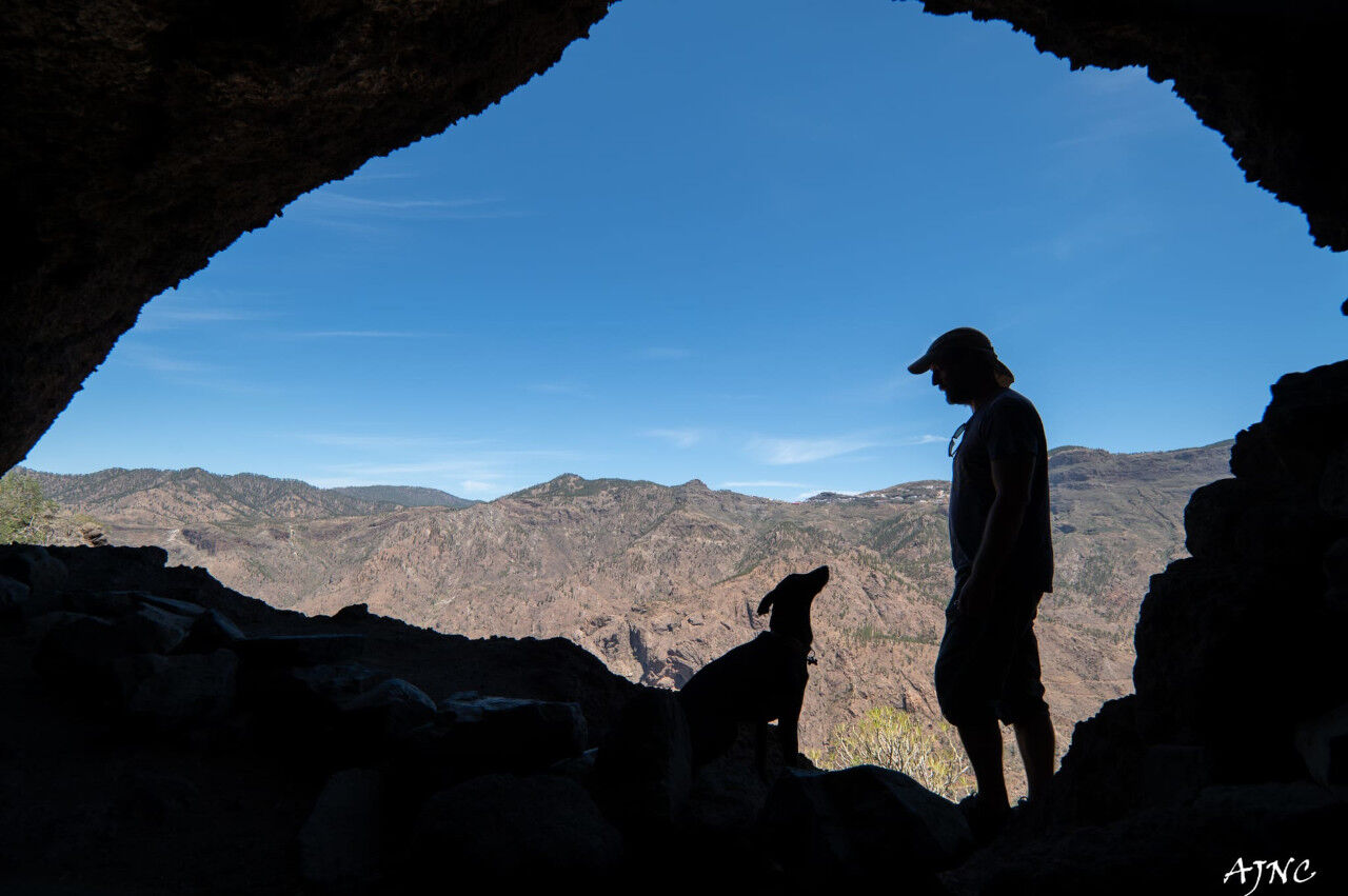
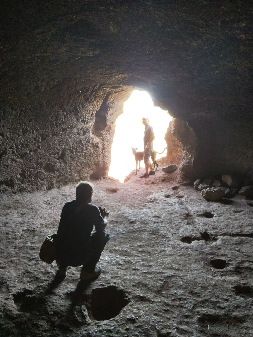
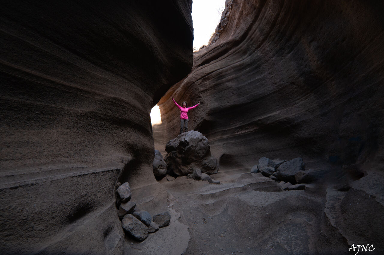
Barranco de Las Vacas
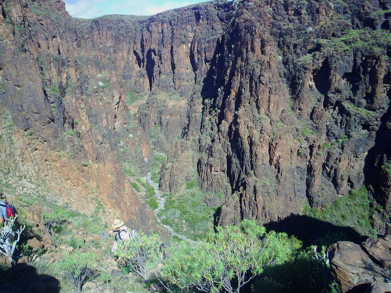
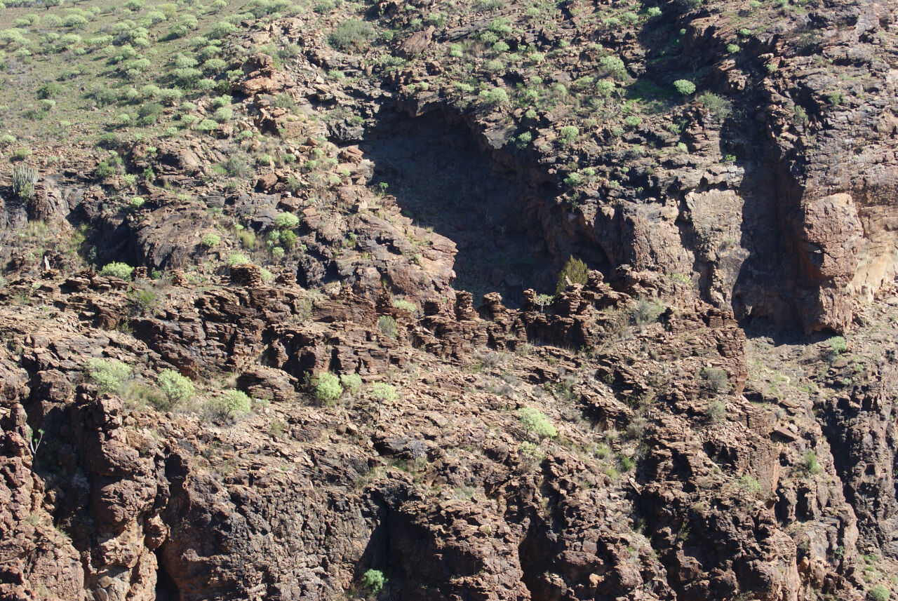
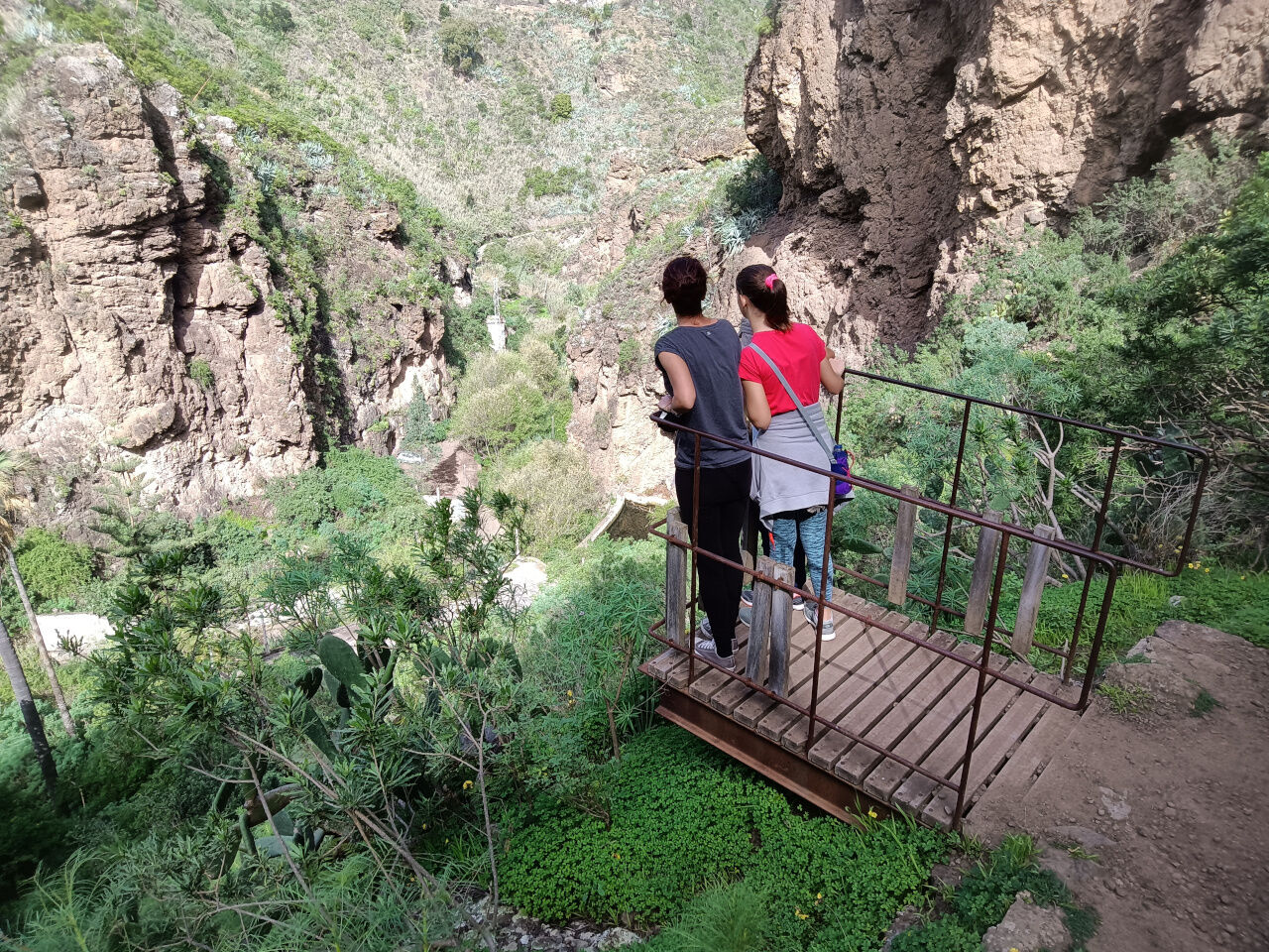
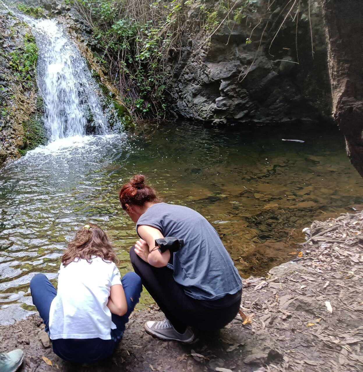
The Barranco de Las Vacas is located between the villages of Agüimes and Temisas. Near a sharp bend in the GC-550 road, is this small canyon of about 50 meters long formed by ancient streams of water that ran through the ravine, and left colourful grooves in the surrounding tuff.
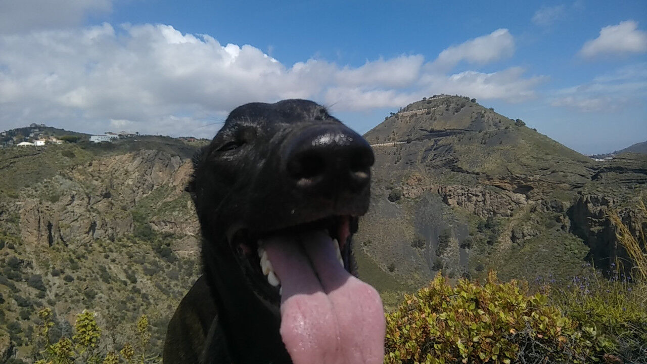
This is undoubtedly a place that will amaze photography lovers. The place is ideal for taking a selfie.
-
- Barranco de Las Vacas in Agüimes, Gran Canaria
It is not necessary to walk far to get there, however, there is very little space on the road to leave the car parked. For this reason it is advisable to try to avoid the hours of affluence. It is best to go very early in the morning, since anyway, being oriented to the East, the light is sufficient shortly after sunrise.
It is also a particularly hot place and, as it is frequented by people with little walking experience, incidents are common. It is best to cancel this excursion in the event of extreme heat.
Finally, be aware that, although it is usually possible to park the car near the ravine, the short walk on the GC-550 road is dangerous. The road is narrow, winding and cars tend to go at a fast speed.
Barranco de Las Vacas
| Beauty of the site |
 |
| Cultural interest of the site |
 |
| Accessibility for children an elders |
 |
| Challenging hike in the surroundings |
|
See Barranco de Las Vacas on googlemap
Los Tilos de Moya
“Tilos de Moya” means Moya's lime trees.
The lime trees are a genus of trees of the malvaceae family, native to the temperate regions of the northern hemisphere.
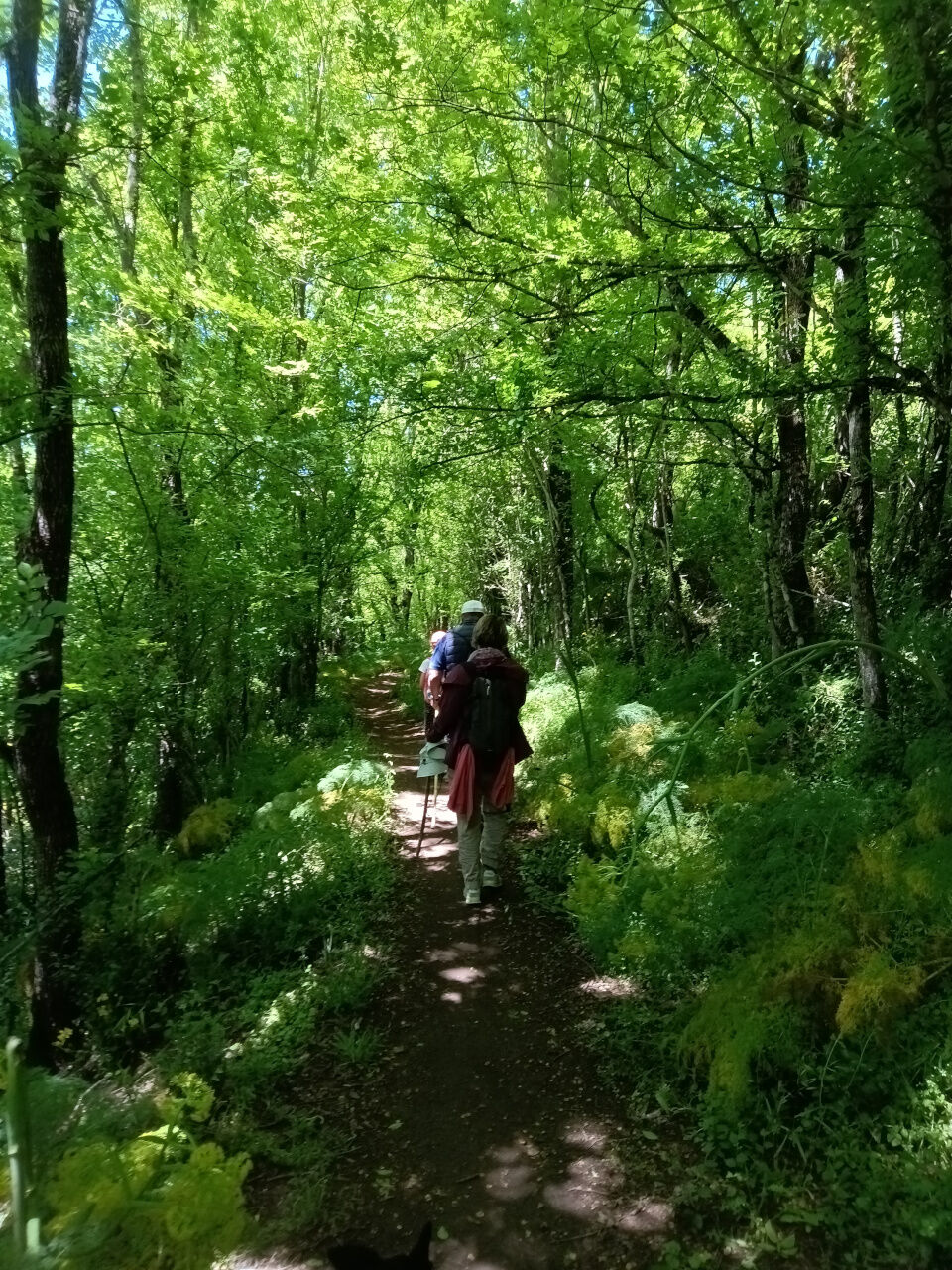
Los Tilos de Moya is the name given to a small wooded area in the ravine of Moya, in the north of the island of Gran Canaria, where we will find laurel and lime trees.
The laurisilva is a type of vegetation typical of cloud forests, humid and relatively warm of the subtropical zones. It is composed of large trees accompanied by lianas. The leaves are persistent, and resemble those of the laurel.
-
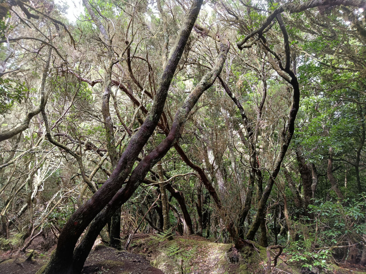
- Laurisilva in Gran Canaria
The laurel forests of the Canary Islands are relicts of the vegetation that, before the glaciations, covered most of Europe.
This protected vegetation, with many species in serious danger of extinction, has found refuge in what is called "Macaronesia", a space that covers the Azores, Canary Islands, Cape Verde, Madeira and the Savage Islands. In these islands and to some extent in some regions of the Atlas Mountains in Morocco, the Laurisilva forest has found shelter from the last glaciation and the subsequent desertification of North Africa.
In Los Tilos de Moya, there is a small loop trail of less than 2 km distance that will allow us to enjoy the area without much effort. Although in some areas there is a little unevenness, it is undoubtedly one of the easiest routes for families with children in Gran Canaria. In addition, the profusion of trees will give us shade and some freshness.
Tilos de Moya
| Beauty of the site |
|
| Cultural interest of the site |
 |
| Accessibility for children an elders |
 |
| Challenging hike in the surroundings |
|
See Tilos de Moya on googlemap